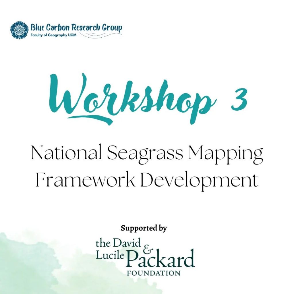
Indonesia Seagrass Mapping project team leaded by Dr. Pramaditya Wicaksono has been held the third workshop, entitled
“National Seagrass Mapping Framework Development”.
This workshop held on Desember 6th – 8th 2022 at The Vouk Hotel & Suits Nusa Dua, Bali.
This workshop focussed on constructing the final report of our first phase that started from August to December 2022. This workshop also aim to construct the framework plan for our second and third phase.
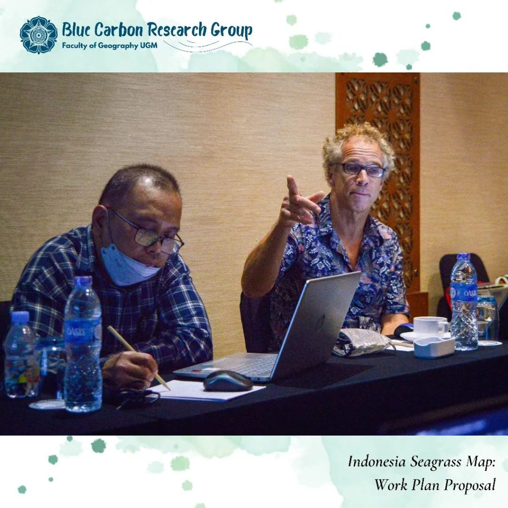
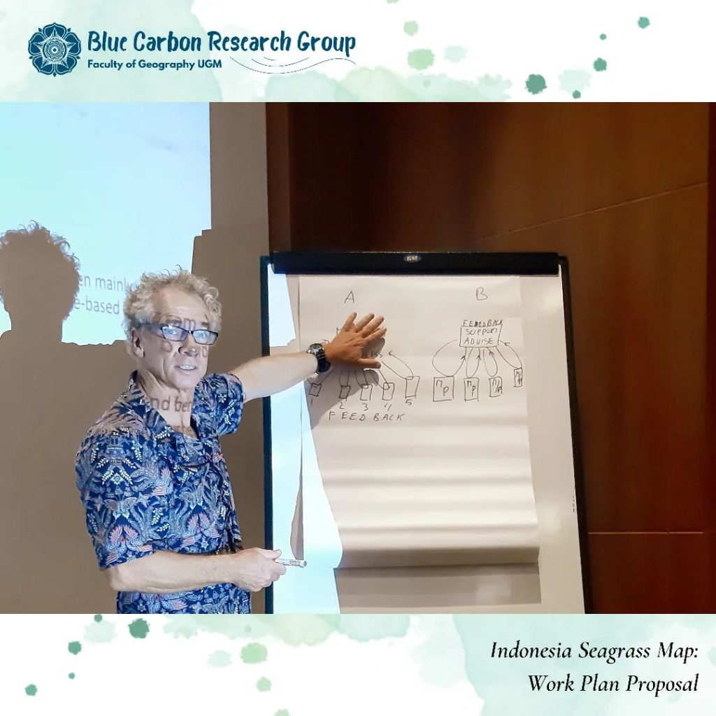
We invited our international collaborator to this workshop, Dr. Chris Roelfsema, from The Queensland University, Australia.
Besides constructing the final report for the first phase, we also starting to construct a proposal for the second phase in this workshop.
From this workshop, we were agreed that the second phase of this project will be combined with the third phase as planed before. Hence our second phase not just focus on constructing the framework for national seagrass mapping, but also implementing the framework itself to map the seagrass ecosystems in Indonesia
For our proposal in phase two, we have planned the technical team structure to produce the national seagrass map, technical work plan until the national seagrass map is ready to be disseminated nationally, deciding the mapping method, and creating the budged plan until this project is finished.
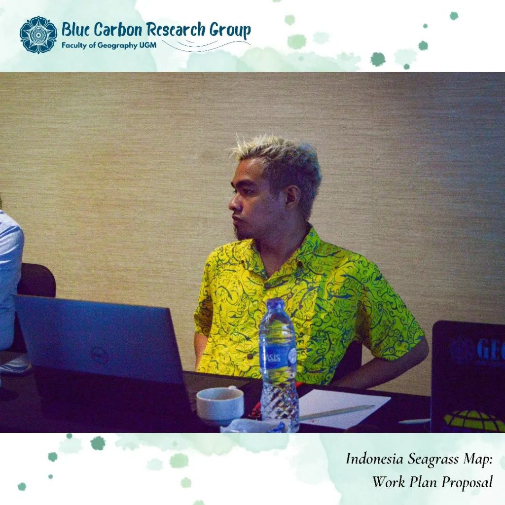
Our third workshop was attended by The Indonesia Seagrass Map main team, as follows:
1. Universitas Gadjah Mada
Dr. Pramaditya Wicaksono, M.Sc.
2. Research Center of Oceanography (RCO) – BRIN
a. Head of RCO – BRIN
Dr. Udhi Eko Hernawan
b. Head of Spatial Ecology and Coastal Dynamic Research Group
Muhammad Hafizt, M.Sc.
3. Ministry of Marine Affairs and Fishery
Dr. Novi Susetyo Adi
4. Geospatial Information Agency (BIG)
Dr. Doddy Mendro Yuwuno
5. Universitas Hasanuddin
Dr. Muhammad Banda Selamat