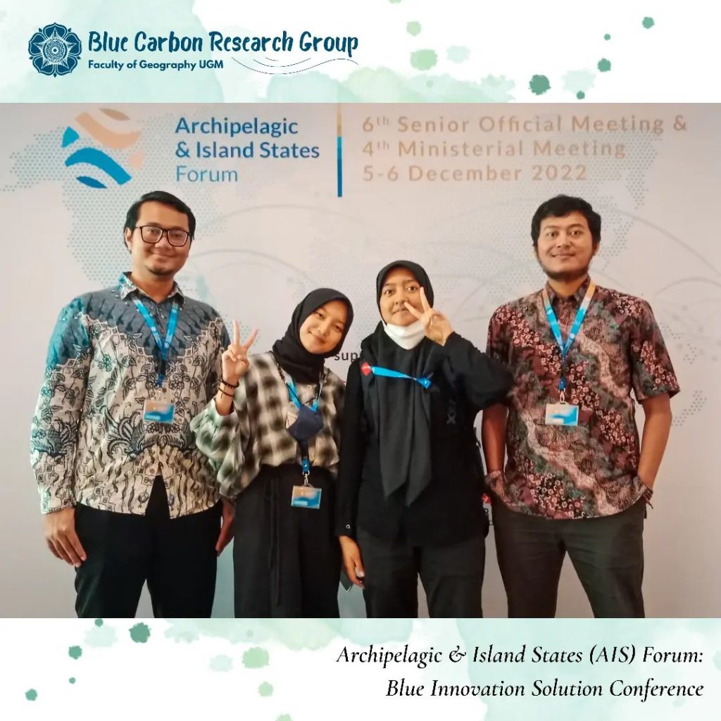
Our team, represented by Dr. Pramaditya Wicaksono, Setiawan Djody Harahap @setiawandjody_, Huwaida Nur Salsabila @huwaidans, and Jenneifer Wijaya @jennifer.wjy,
has been invited to attend
the Archipelagic & Island States (AIS) Forum – Blue Innovation Solution Conference.
This event was held by the Coordinating Ministry for Maritime Affairs and Investment at The Westin Resort Nusa Dua, Bali on December 5th 2022.
This conference held on November 24th, 2022, at Universitas Indonesia, Depok.
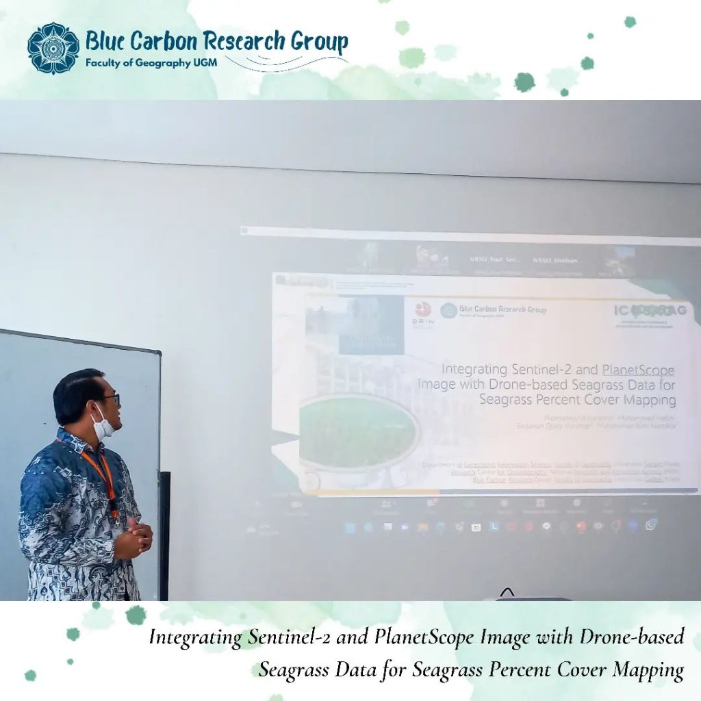
Attended as one of the presenters, Setiawan Djody Harahap, S.Si. (third author) presenting a research initiated by Dr. Pramaditya Wicaksono (first author), entitled
“Integrating Sentinel-2 and PlanetScope Image with Drone-based Seagrass Data for Seagrass Percent Cover Mapping”.
The author of this paper is as follows:
Pramaditya Wicaksono (1), Muhammad Hafizt (2), Setiawan Djody Harahap (3), & Muhammad Rizki Nandika (2)
1. Department of Geographic Information Science, Faculty of Geography, Universitas Gadjah Mada
2. Research Center of Oceanography, National Research and Innovation Agency (BRIN)
3. Blue Carbon Research Group Faculty of Geography, Universitas Gadjah Mada
This research in one of the outputs for PDUPT research grant.
At the end of this conference, congratulation to Setiawan Djody Harahap, S.Si who announced as one of the best presenter in the 2nd International Conference of Science and Applied Geography (ICOSAG).
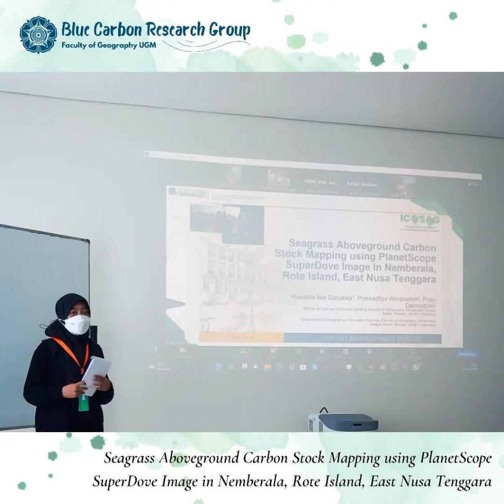
Attended as on of the presenters, Huwaida Nur Salsabila, S,Si. presenting her research entitled
“Seagrass Aboveground Carbon Stock Mapping using PlanetScope SuperDove Image in Nemberala, Rote Island, East Nusa Tenggara”.
This paper is one of the outputs from her thesis that supervised by Dr. Pramidtya Wicaksono.
The author of this paper is as follows:
Huwaida Nur Salsabila (1), Pramaditya Wicaksono (2), & Projo Danoedoro (2)
1. Remote Sensing Magister Program, Faculty of Geography, Universitas Gadjah Mada
2. Department of Geographic Information Science, Faculty of Geography, Universitas Gadjah Mada
This research is funded by the RTA research grant leaded by Dr. Pramaditya Wicaksono